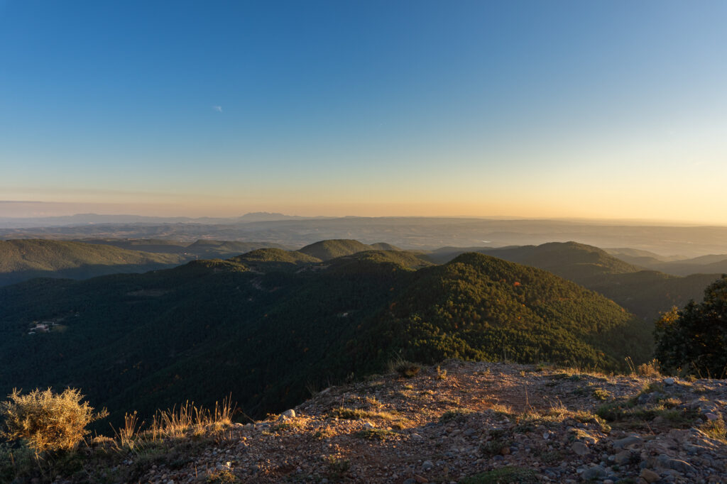
Pla de Busa is great, they said. And you will find historic places there, they said. A prison, for example, on a precipice. And they didn’t even lie. They just omitted a few seemingly irrelevant details about the route. I made a few more micro-decisions, and it turned out as it turned out. Well, but one by one.
Detail 1: the street view
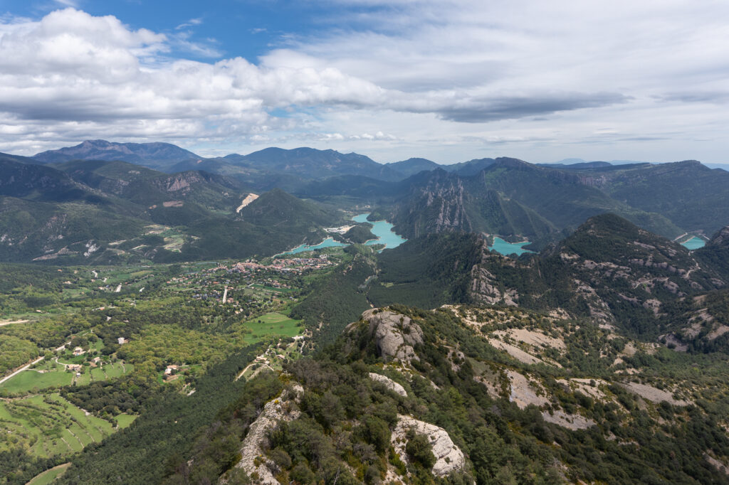
It was a sunny Sunday, and I was tempted to waste it at home replacing the bicycle seat with an office chair. However, the day before, on my way back by train from the Great City of Barcelona, I saw that the Pyrenees were inappropriately clear! This memory was decisive for how this day went. I called an internal mental conference, voted, and the option to go on a trip won slightly. So I looked at the map. I decided to enter the Pla de Busa (The Busa Plateau), which I had already seen from afar with my own eyes a few months ago. It looked like I could take one road going there and return the other way.
Unfortunately, both of these routes are not present in Google Street View. I probably had other options to check the surface of those roads. Still, I concluded that spending another hour on the Internet would make going out pointless. So I closed the laptop, and in 30 minutes I was on my way!
Detail 2: the walking shoes
I drove my car to the place at the very end of the descent, which I would use to return from the mountains. I parked on the edge of the village, got my bike, changed my shoes, checked if I had what I needed. For a moment, I hesitated to take my walking shoes into the backpack. Finally, I thought that with shoes in it, the pack would be stuffed like a balloon and that over 1000 meters of climb waited for me, so I decided to put them back into the trunk.
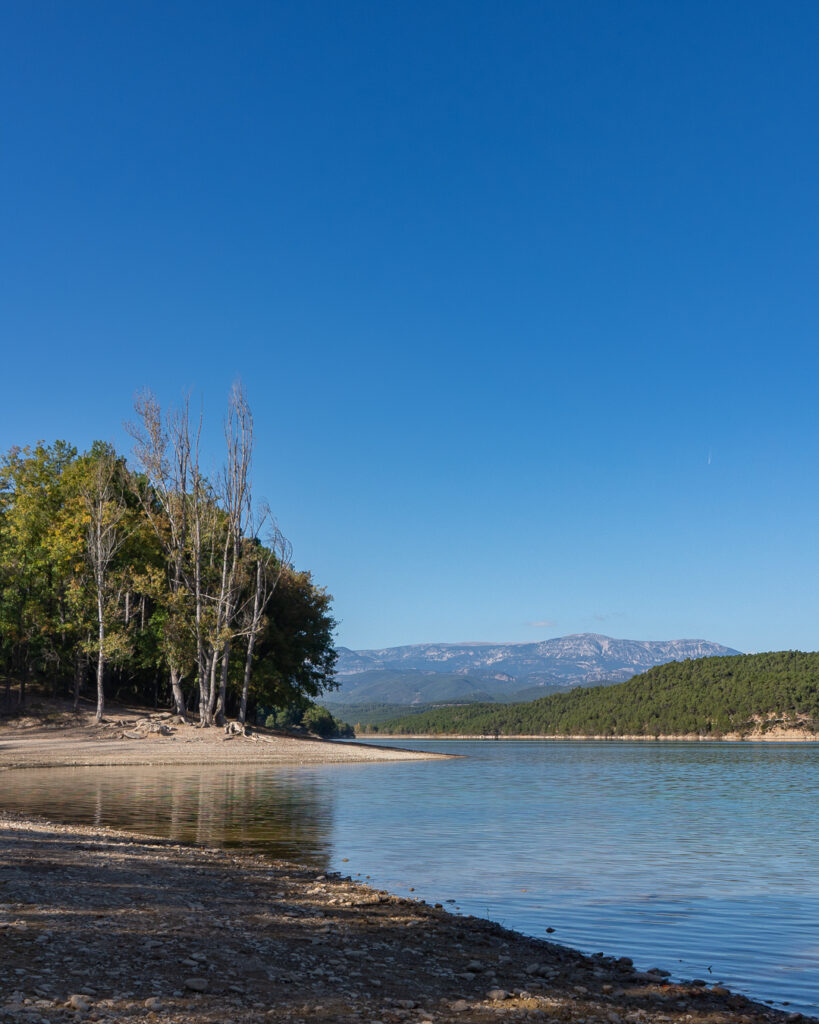
I spent the first few kilometers on a moderate uphill, riding the main road towards Solsona, and then turned right to the Sant Ponç dam. Everything there was so lovely! The entrance through the woods, the sunshine, pristine blue skies, clear water. I was tempted to stay by the lake longer, but I made just a few of the sixty kilometers planned for this day, so I continued on. About 200 meters.
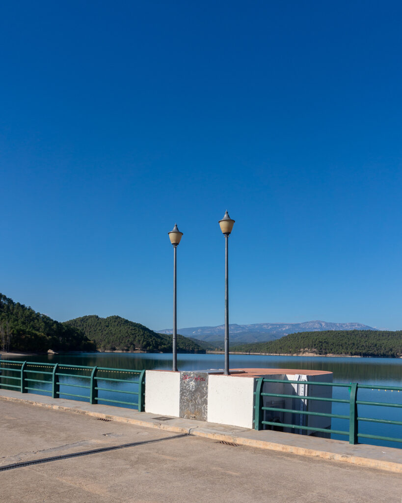
The lake from the dam looked so attractive that I took one more photo, then another, then a third. It was not easy, but finally, I managed to free myself from the charm of the blue water.
The next stage led along a narrow path to the hills, much lower than what was to come next. From up there, I could enjoy a nice view of the high mountains, including Serra do Busa. I could guess which way the road would take me today. Although now I regret it a bit, I did not stop to take a picture. The descent from the hills was so lovely…
A few minutes later, I was at the foot of the driveway, at the sign “Busa 15”. “15 km of constant uphill, that’s a lot, but I have time,” I thought.
Detail 3: uphill is slow
The kilometers passed slowly. Quite unbearably slowly. The first 3-4 were still acceptable, but then some unpleasant walls started to appear. Not long ones, but after one, there was no time to recover, only a turn and another brutal section. I figured out that at this pace, I’d reach the top in way more than an hour. Well… it is what it is.
Kilometer after kilometer, I was climbing until an unexpected descent. I even stopped to check on the map if it was really a good way? Unfortunately, it was a good way. Unfortunately, because it meant that all the altitude I just lost, I will have to gain with a vengeance.
The next part turned out to be murderous indeed. I managed to ride up two walls standing up, but the third one managed to get me. I covered it on foot. Then, fortunately, the uphill calmed down a bit, and the views began to unfold, and not just any! I knew that I was close to the end of the climb.
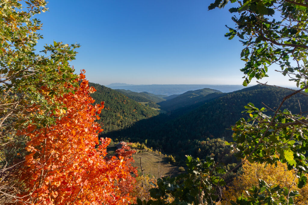
The next kilometer was almost gentle. But only to get to the section so steep that if the road was covered with a typical ‘old Polish-style asphalt,’ it all would form a puddle at the bottom.
In the end, about 6:00 PM, I walked at the mountain pass, happy that no one had witnessed my defeat. And fell down with delight and exhaustion.
Detail 4: the sunset means the day ends
I did not go down towards the settlement and historical places. To get there, you had to go steep descent and then come back the same way. It was beyond my abilities that day. Instead, I took photos.
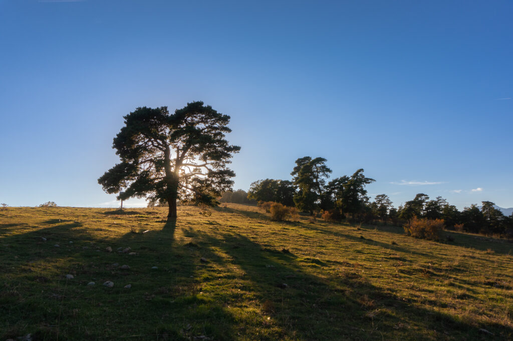
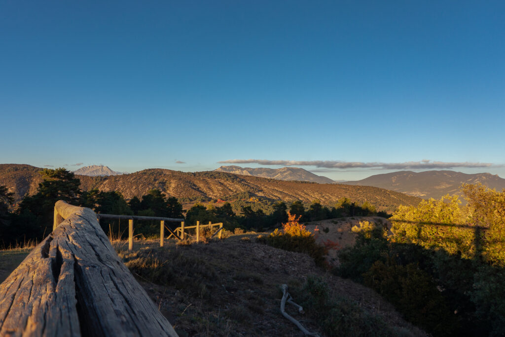
Walking on the well-bitten (by the cows) grass, bathed in the gold of the sunset, was so pleasant! A few photos here, a few more there…
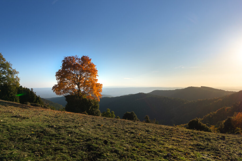
Beautiful orange-red tree: a click. Others, lit from behind, like in a holy picture: a click. Then there are pines, as in Shishkin‘s painting: a snap. Then a moment for a snack and… and maybe something is interesting up there?
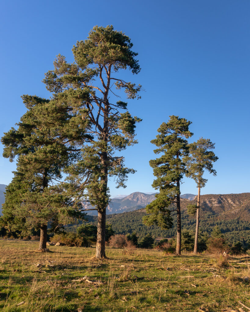
Yes, there is! A possibility to spend another hour staring open-mouthed at the panoramic view in front of me. Well, I didn’t have another hour because the sun was getting lower and lower.
Repay time
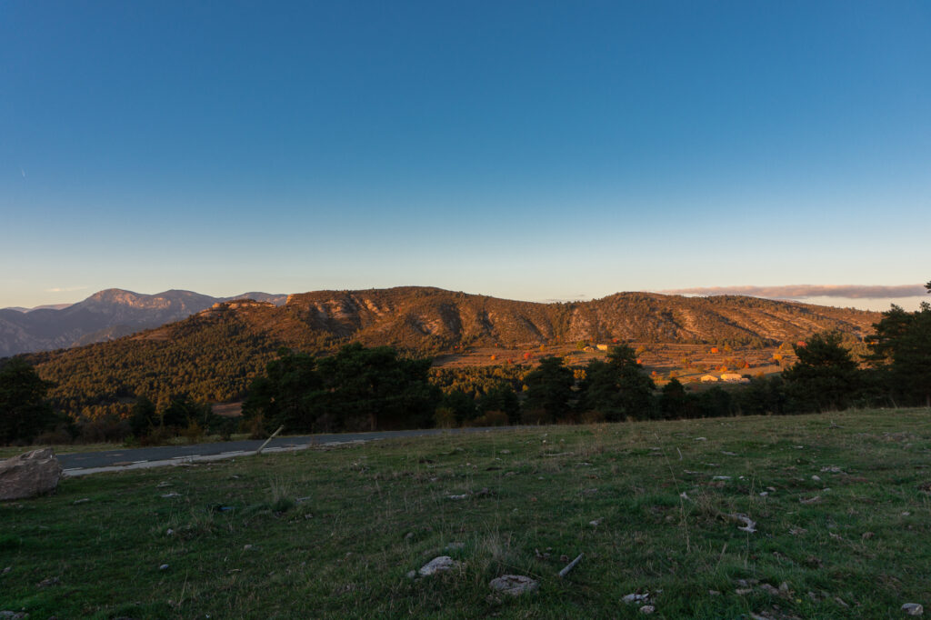
First, I rode down this ridiculously steep wall from the pass to a nearby intersection. To the right? I came from there. To the left? Into the unknown. The surface was as smooth as a baby’s skin, so I turned left. It was a very steep downhill. After a kilometer, the asphalt has ended like the knife cut. The sun went down. All the small details came together. And here I was, standing at the end of the asphalt, watching down the gravel road, descending very steeply into a dense, dark forest, darker with every minute. I stood in the road shoes, 22 km from comfortable walking footwear. And I had sunglasses. If the sun suddenly shone through the Earth, they would serve me well. The morale of the team decreased dramatically.
The darkness always comes
The forest… You can’t see the lights of human settlements. Sometimes you can hear cowbells, from a distance, in the thickening darkness. Have I ever ridden my bike at night? Of course, I had! I drove all night long. Do I have lights, water, something to eat, warmer clothes? Almost – only the shorts will not magically get longer. I keep walking down and down. I ride only on that parts of the road, which are less steep and without large rocks. The more I descend, the colder and darker it is. Darkness creeps into my thoughts like poison. It seems to be whispering right to my ear the words that make me want to lie down and wait for the inevitable end.
Have you ever dreamed a dream in which you try to run, but your movements are slow, as if in tar? That you’re moving like in slow motion, and the threat you’re running from is getting closer and closer? Then you wake up scared? This forest was full of such tar. As if it didn’t want me to get out. And it was impossible to wake up. It was not a dream.
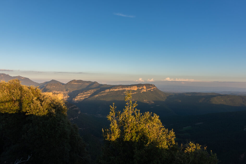
And yet the forest ended, and the asphalt returned to the road. The last 20 kilometers of the route led along the river from which the bone-chilling cold sneaked. The chill was both refreshing and blowing away poisoned thoughts. When I got to the car, I packed my things, then got in and out four times to make sure, to be confident, that everything was definitely, certainly inside. In particular, whether there is anything left in the forest. And then I turned on the radio.
It was Sunday, and it was 9:00 PM. And from the radio, for how many years I do not know, I could hear:
Along the coast road, by the headland
the early lights of winter glow.
I'll pour a cup to you my darling.
And raise it up say Cheerio.
— Jethro Tull, Cheerio
To the sounds of Piotr Kaczkowski‘s broadcast, I managed to reach home and leave the darkness behind me. Although can I be sure that there is no crumb left somewhere?
Thank you
